
WMO Warns Intensifying El Niño Could Become Strongest in Four Decades
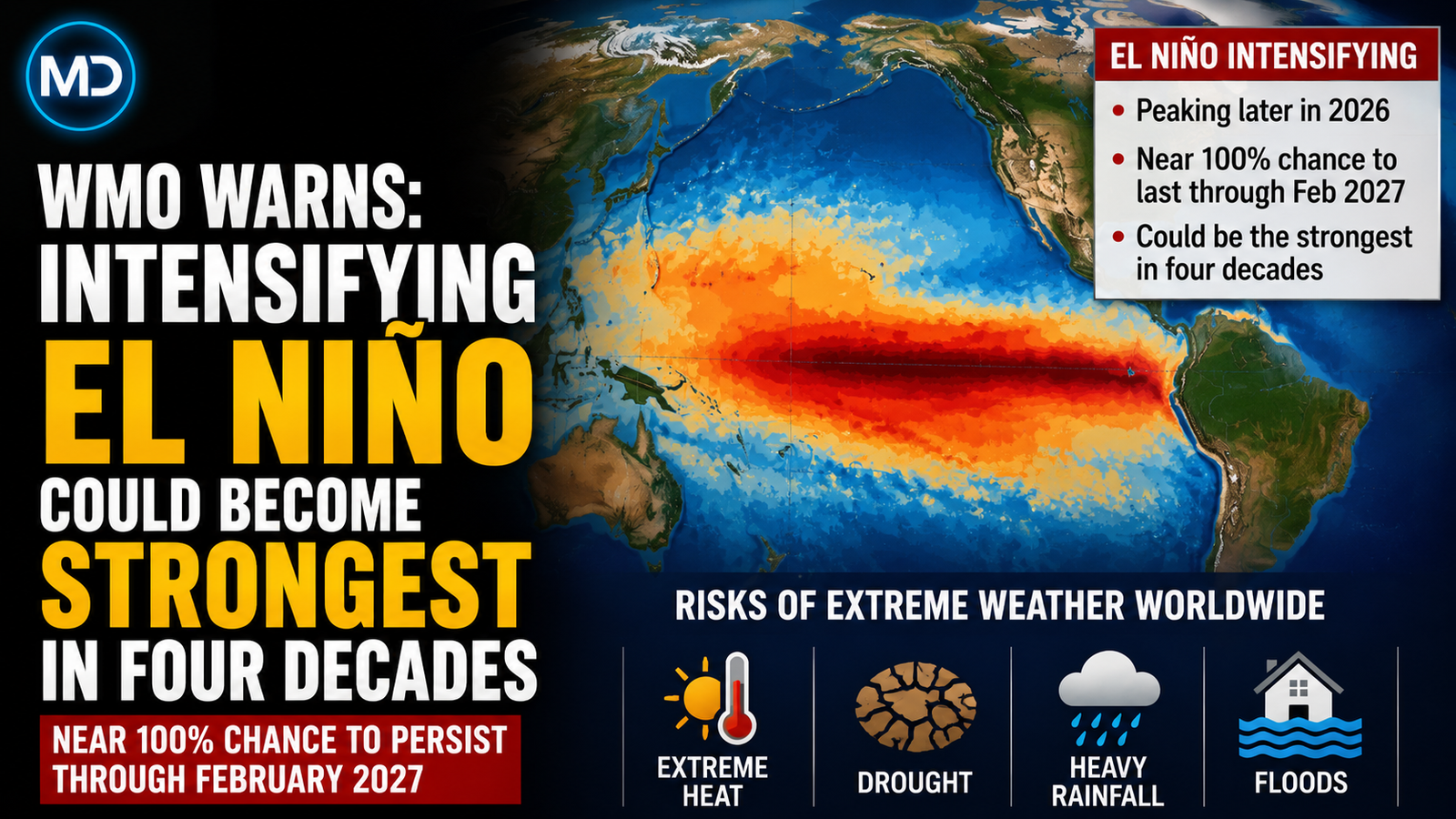
The World Meteorological Organization has warned that the current El Niño phenomenon is set to intensify into a "very strong" event that could become the most powerful recorded since monitoring began four decades ago. According to the United Nations climate agency, there is an exceptionally high likelihood of nearly 100 percent that the weather pattern will persist through February, raising the risk of severe global weather disruptions into next year and beyond.
WMO Secretary-General Celeste Saulo stated that if the current trajectory continues, the event may surpass anything observed since systematic monitoring started. UN Secretary-General Antonio Guterres echoed the warning, stating that the planet is entering a dangerous zone of extreme weather as sea surface temperatures continue to rise.
Escalating Temperatures and Pacific Anomalies
El Niño is a naturally occurring climate pattern that warms surface temperatures in the central and eastern equatorial Pacific Ocean, altering global rainfall, pressure, and wind dynamics. The WMO reports that the sea surface temperature index in this region rose from 1.5 degrees Celsius above normal between May and July to between 2.2 and 2.6 degrees Celsius above average by mid-August. Subsurface ocean temperatures in some areas reached more than 8 degrees Celsius above average during July and early August.
Although El Niño is not caused by climate change, scientists emphasize that it amplifies planetary heat generated by fossil fuel emissions. Because heat absorbed by the oceans releases gradually into the atmosphere, the knock-on effects of this event are expected to influence global climate patterns well into 2027. Officials noted that after the powerful 2023-24 El Niño contributed to record warmth in 2024, global temperature records could be broken again.
Global Impacts and Regional Vulnerabilities
The UN agency warned that the reaching of a "very strong" classification—the highest of four intensity levels—will bring widespread risks of floods, droughts, and extreme heat. Forecasts for September through November indicate a heightened probability of above-normal temperatures across nearly all land areas, accompanied by classic atmospheric responses to strong Pacific warming.
Major historical El Niño events have altered weather thousands of kilometers away from the tropical Pacific, often triggering droughts in Australia, Indonesia, and parts of the Amazon, while disrupting monsoons in India. Authorities in Indonesia have already cited raised risks of fires during peak dry conditions, while severe flooding has previously impacted regions like Brazil's Rio Grande do Sul state. The WMO urged climate-sensitive sectors—including agriculture, energy, health, and water management—to prepare immediately for potential disruptions.
0 YORUMLAR
Bu KONUYA henüz yorum yapılmamış. İlk yorumu sen yaz...