
Nepalese Expert Urges Risk-Sensitive Urban Planning Following Unprecedented Floods
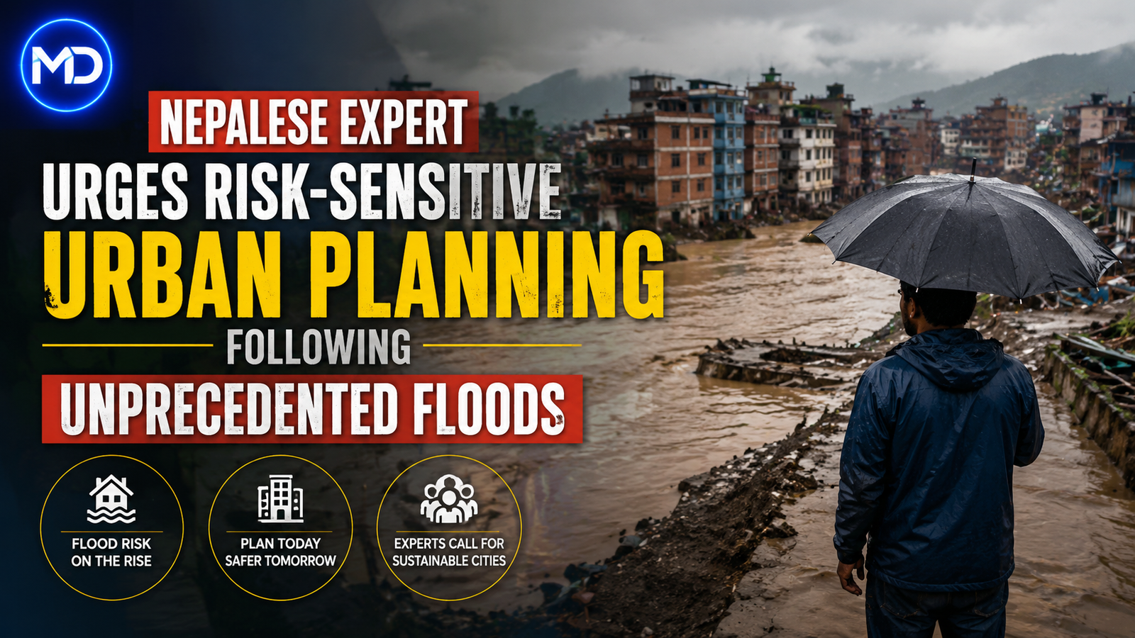
Recent unprecedented flooding in Nepal has highlighted the limitations of conventional disaster prevention measures in the Himalayan region, according to Dr. Basanta Raj Adhikari, Director of the Center for Disaster Studies at Tribhuvan University’s Institute of Engineering. Speaking with Genie Godula, Dr. Adhikari emphasized the need for new engineering approaches and risk-sensitive urban planning to address the country's severe natural hazards.
Limits of Traditional Prevention
Dr. Adhikari noted that flood velocities during the disaster were estimated to reach between 170 and 180 kilometers per hour. The region faces a wide array of dangerous phenomena, including ice and snow avalanches alongside glacial lake outburst floods. Due to Nepal’s exceptionally steep and complex mountain terrain, Dr. Adhikari stated that comprehensive monitoring of the entire area is effectively impossible using traditional methods.
Proposed Strategies for Adaptation
Rather than adopting a fatalistic view, Dr. Adhikari advocates for a strategic shift from trying to predict every extreme event to focusing on risk-informed adaptation. He recommended that Nepal use satellite observation to locate high-risk hotspots, which should then be supported by ground-based monitoring and early-warning systems. Integrating this data into risk-sensitive land-use planning is essential for improving resilience against future disasters.
0 YORUMLAR
Bu KONUYA henüz yorum yapılmamış. İlk yorumu sen yaz...